Regional Geographical Assessments
A complete geographical profile of a specified region, covering physical characteristics, human modifications, and environmental processes. This assessment includes field surveys, cartographic analysis, soil sampling where appropriate, and documentation of hydrological features.
Deliverables Include:
- Comprehensive written report with maps and diagrams
- Topographical analysis and landform classification
- Geological context and surface materials assessment
- Land use patterns and historical development overview
- Recommendations for further investigation if warranted
Typical project duration: 3-4 weeks depending on region size and accessibility.
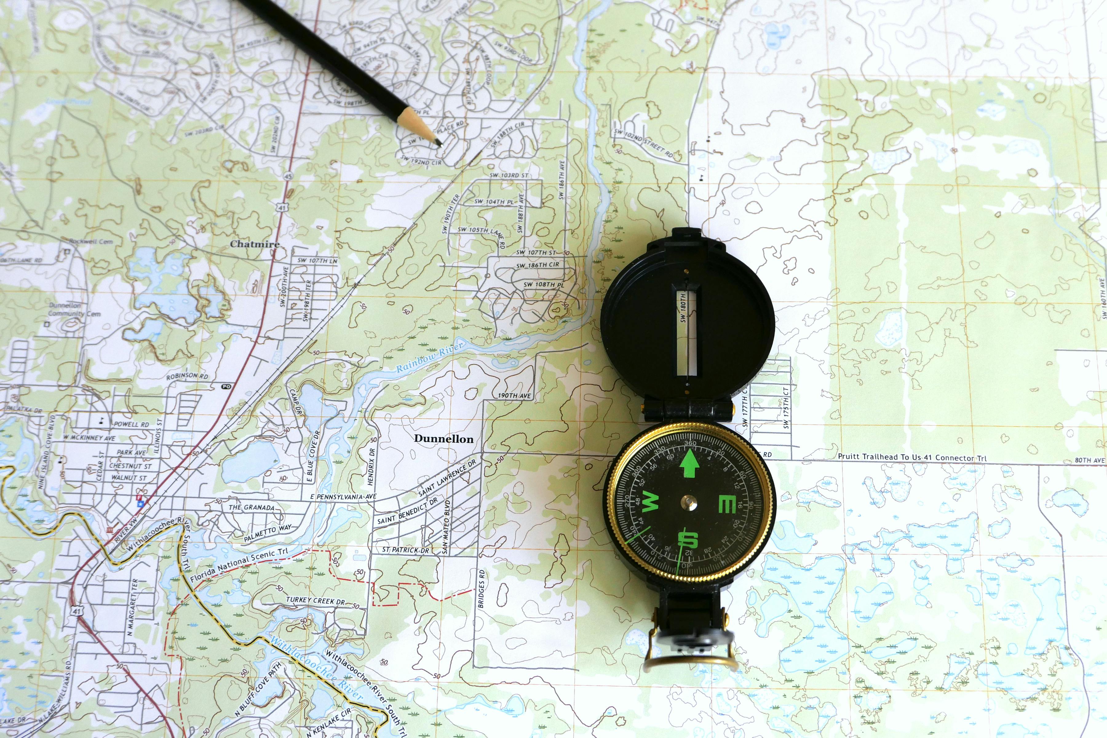

Educational Programme Development
Custom geography curricula designed for educational institutions or public engagement initiatives. We create programmes that balance theoretical understanding with hands-on field experience, making geographical concepts tangible and memorable.
Programme Components:
- Curriculum framework aligned with educational objectives
- Field study location identification and risk assessment
- Teaching materials, worksheets, and assessment rubrics
- Instructor guidance notes and background briefings
- Optional on-site support during initial delivery
Suitable for secondary schools, sixth forms, universities, and adult education providers.
Cartographic Consultation
Expert guidance on creating maps that communicate geographical information effectively. Whether you need maps for academic publications, planning documents, public interpretation, or educational materials, we provide advice on design, data selection, and presentation methods.
Consultation Coverage:
- Map design review and recommendations
- Selection of appropriate projection and scale
- Symbology and legend optimization
- Data visualization strategy for geographical information
- Technical specifications for cartographic output
Delivered through consultation sessions with written recommendations.


Geological Heritage Documentation
Detailed recording and interpretation of sites with geological, geomorphological, or palaeontological significance. This service is particularly valuable for conservation planning, heritage designation applications, or educational resource development.
Documentation Includes:
- Site survey and photographic record
- Geological feature identification and description
- Stratigraphic or structural analysis where relevant
- Assessment of scientific or educational value
- Management recommendations for preservation
Suitable for Sites of Special Scientific Interest (SSSI) applications, local geological sites, or interpretation projects.
Land Use Impact Studies
Analysis of how geographical factors influence land use decisions, development potential, or environmental management approaches. We examine the physical constraints and opportunities that terrain, climate, and soil present for various activities.
Study Elements:
- Physical geography baseline assessment
- Constraint mapping for proposed land uses
- Climate and microclimate considerations
- Drainage and flood risk geographical factors
- Soil capability assessment for specific uses
Useful for planning applications, agricultural projects, or conservation management plans.